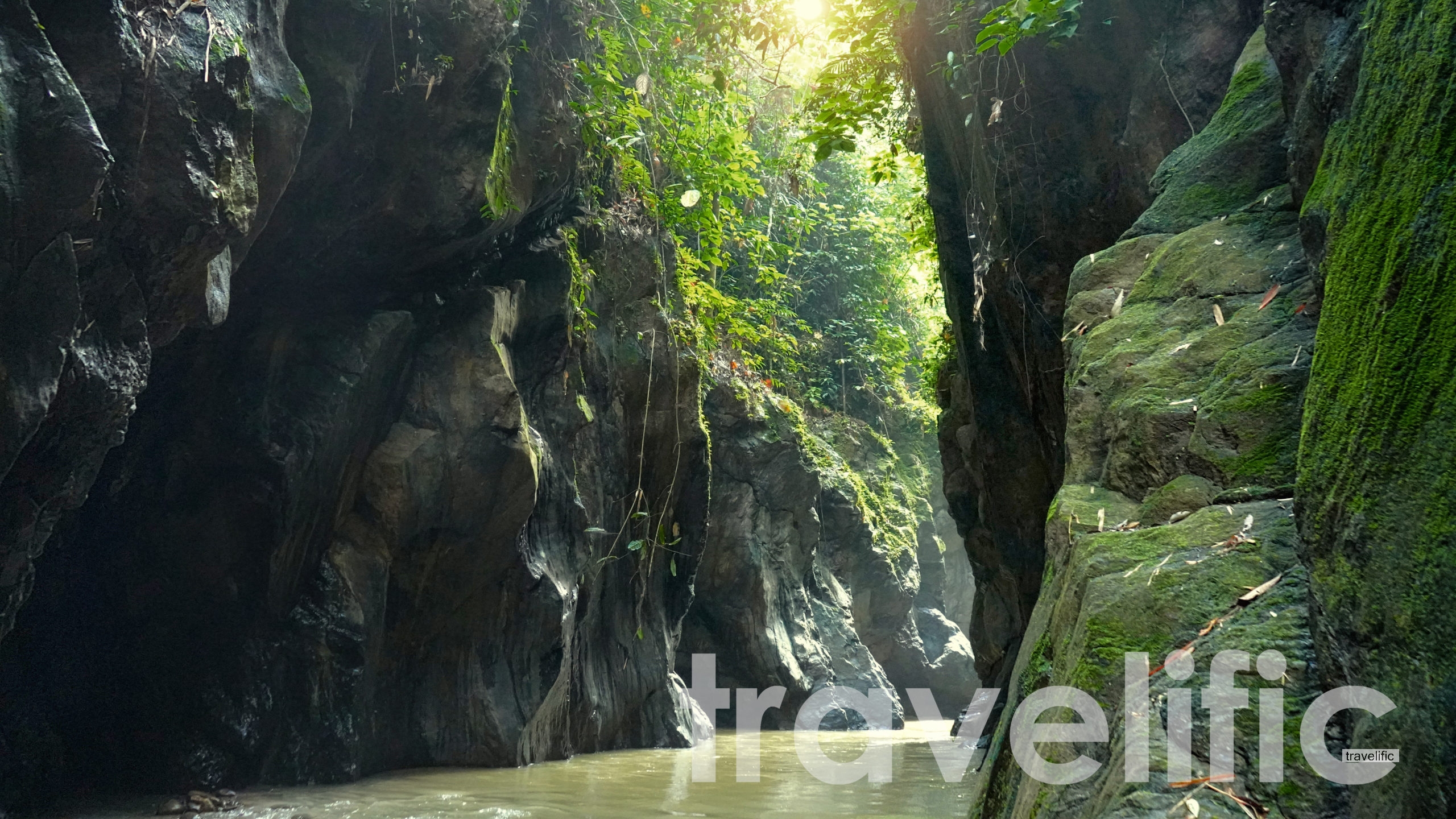
Lata Berungut is located at Taman Negeri Kenaboi , Negeri Sembilan. At the time of writing, you can only hike Lata Berungut with a guide from Forestry department. The guide cost RM30 per person while the price also includes safety vest. The hike is not too long. It only takes 40 minutes to get there while faster getting back. Most of the trail is done against the river while getting there, thus it may be slower getting there. Hikers will have to go through streams against the current before getting to Lata Berungut. The trail can be super sandy, rocky , and slippery. Depending on the war, life vest is compulsory as the water may get high.
Getting there
To get to Lata Berungut, you will have to get to Kenaboi State Park ( Taman Negeri Kenaboi ) first. There are 2 routes which you can get there by using GPS. The first route with Hulu Langat Batu 18 , Genting Peres this road maybe closed due to landslides. Another route, its with Negeri Sembilan/Lenggeng/Titi route, this route is longer however it is not closed and frequently used.
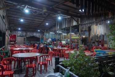
The trail to Lata Berungut starts from Kenaboi State Park ( Taman Negeri Kenaboi ) . You will have to obtain permit and guide to get to Lata Berungut. The nearest town from Lata Berungut is Titi and Kuala Klawang . The treck stars around 9.00am , and it takes around 2 hours drive from Kuala Lumpur to Taman Negeri Kenaboi. So you have to plan ur trip in advance.
Guide cost and permit
Guide is compulsory. The ticket can be bought at Taman Negeri Kenaboi entrace.
RM30 per person